Our stretch of active weather continues through the weekend. Not that the entire weekend will be “active” meaning rain, but active in the sense that there will be finer details than the simple, easy high/low temperatures.
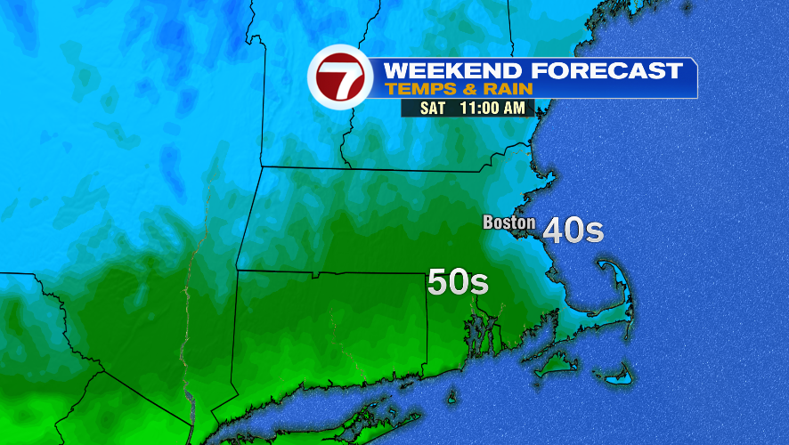
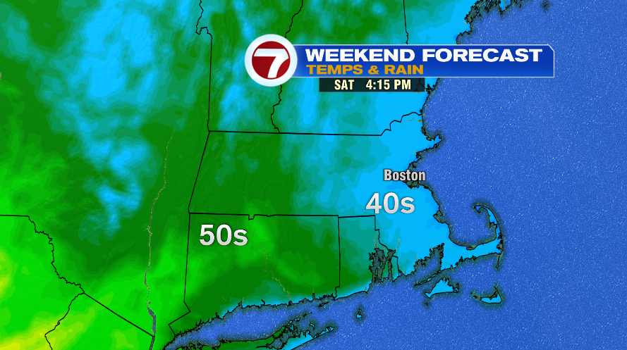
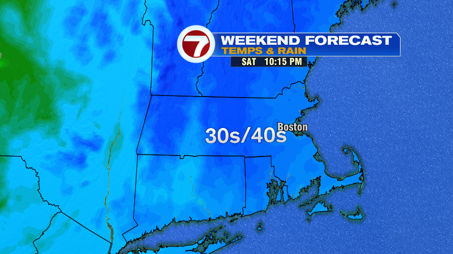
We’ll start with Saturday. We’ve had a series of backdoor cold fronts all week, and there’s one more on the way for Saturday. Saturday will be a day of falling temperatures, so the morning will start mild, in the 50s, but we’ll quickly fall into the 40s by the afternoon. By the late morning, we’ll already see some of that cooling happening on the coast line, and it continues to push inland through the afternoon. By Saturday evening and night it’ll be pretty chilly, falling to the 30s and 40s. The nice part about Saturday is it’s dry, so you won’t have to dodge any rain. That’ll change for Sunday.
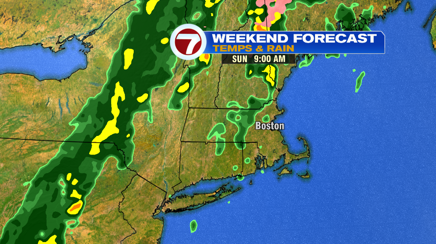
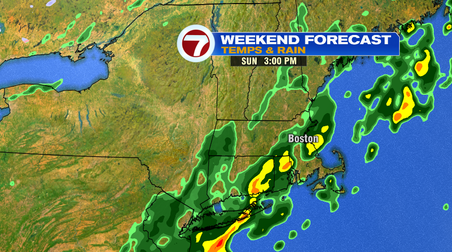
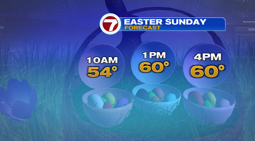
Sunday, temperatures will be back doing their “normal” thing as in they start colder in the morning and rebound through the afternoon. Sunday will still be mild with afternoon highs returning to the 60s. The problem with Sunday is the rain. While no part of the day looks totally dry, the morning will be your better bet if you have plans for Easter egg hunts. Sunday morning will feature spotty showers, but by about 11:00 or so and through the afternoon, the showers will become steadier and a bit more widespread.