
Happy Monday! I hope you enjoyed the day because it’s looking like the nicest one for a while!
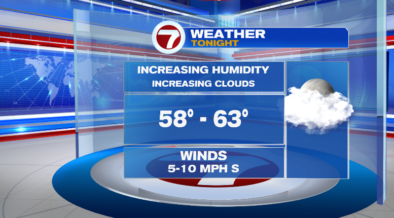
This evening we’ll stay dry with temperatures in the 70s and 60s. Overnight lows won’t be as cool or comfortable as the last few nights, overall in the upper 50s and low 60s. Clouds will be on the rise as the night progresses and the humidity will be, too.
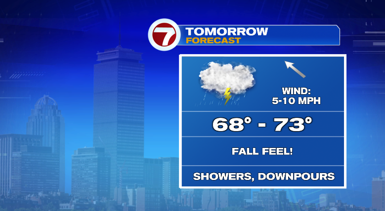
Tomorrow, there’s no real specific timing of the rain. We’re facing on-and-off chances through most of the day with cloudy skies and humid conditions. At times, the rain will be moderate to heavy and could lead to some isolated pooling of water on the roads. Be careful!
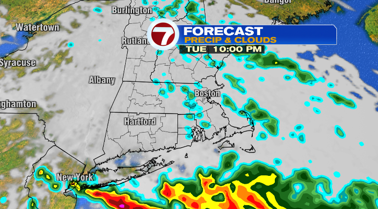
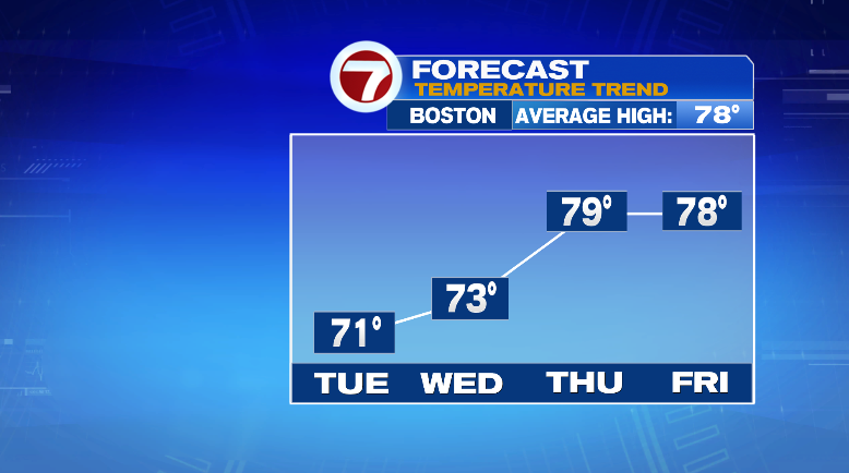
The cloud coverage and rain will keep us cooler in the 60s and 70s throughout the day.
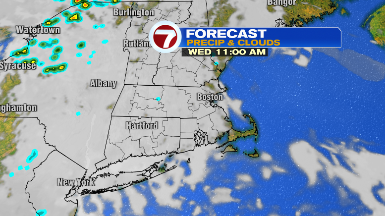
Wednesday will be a transition day between the two wet days this week, Tuesday and Thursday. Skies will be mostly cloudy, although there may be more clearing along the coast. We can’t rule out some spot sprinkles or isolated drizzle. Highs will still be cooler in the low 70s.
Rain chances return Thursday with scattered showers and more numerous thunderstorms as well.
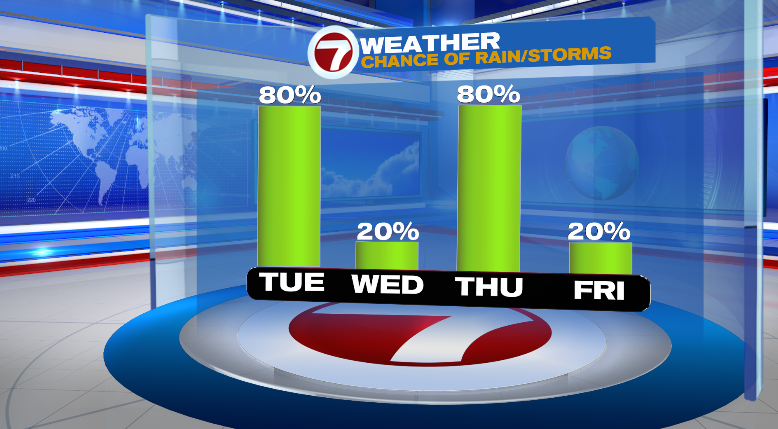
Chances begin in the morning and last throughout the day. Bring a rain coat and rain boots! Highs will be warmer in the upper 70s and it’ll be very humid.
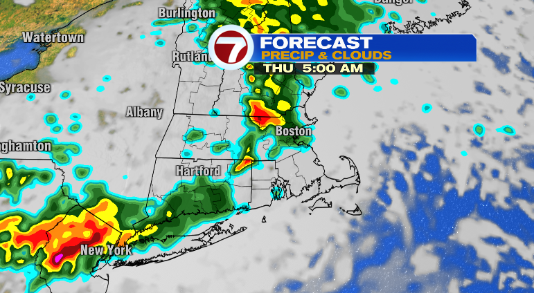
We start drying out Thursday evening. Friday is looking partly sunny and in the upper 70s.
Saturday we could see an isolated instability shower, otherwise mostly dry and partly sunny with cooler highs in the low 70s. We’ll get down to the 50s that morning, too. Sunday: sun/clouds and low 70s after a crisp morning in the 50s. Monday looks sunny and in the 70s again. Stay tuned!

