
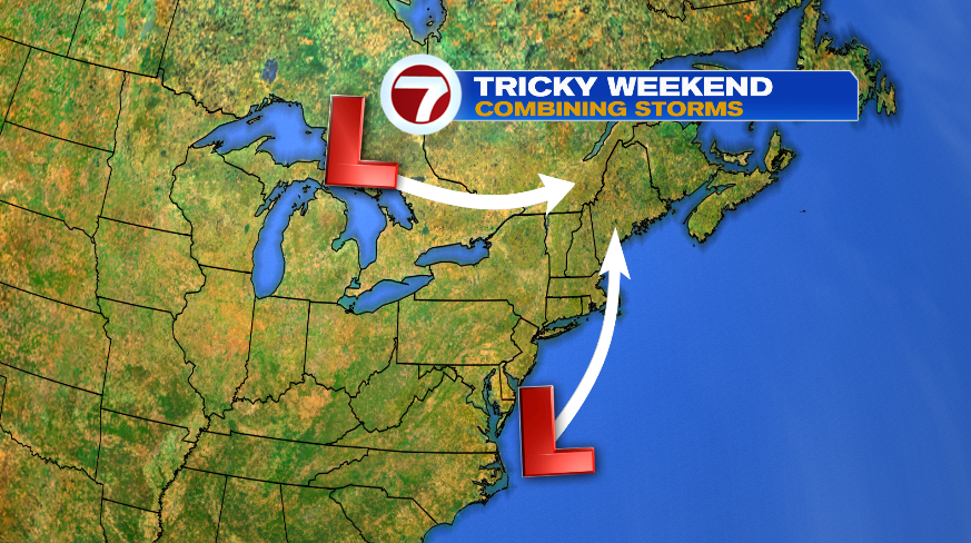
If you’ve been following along with the forecast these last few days, we kept talking about these two merging storm systems for the end of the week and weekend and how the models typically have a really hard time capturing what will happen during and after that merge. Also that it was likely the forecast would see some changes as a result. Well, there are changes. The rest of the week and the weekend are turning more unsettled. Now, that doesn’t mean the next four days are going to rain nonstop, but rain chances are back the next four days.
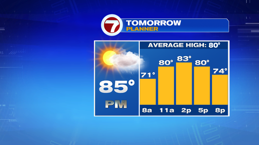
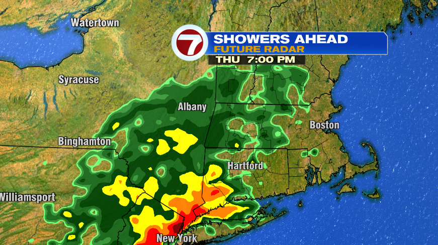
I think the best way to talk this through is to simply go day by day so we’ll start with Thursday. Tomorrow is largely a dry day. We’ll have sun in the morning with increasing clouds and rain that returns late in the afternoon/early evening. Temperatures will still climb to the 80s again tomorrow with the sunshine and most of the day being dry. You’ll see on the future radar snapshot that most of the rain is in the evening. A few models bring them in a bit earlier (like 5pm) but the takeaway is the morning and most of the early afternoon will be dry. Most of the rain, and the heaviest rain, will be overnight into Friday morning.
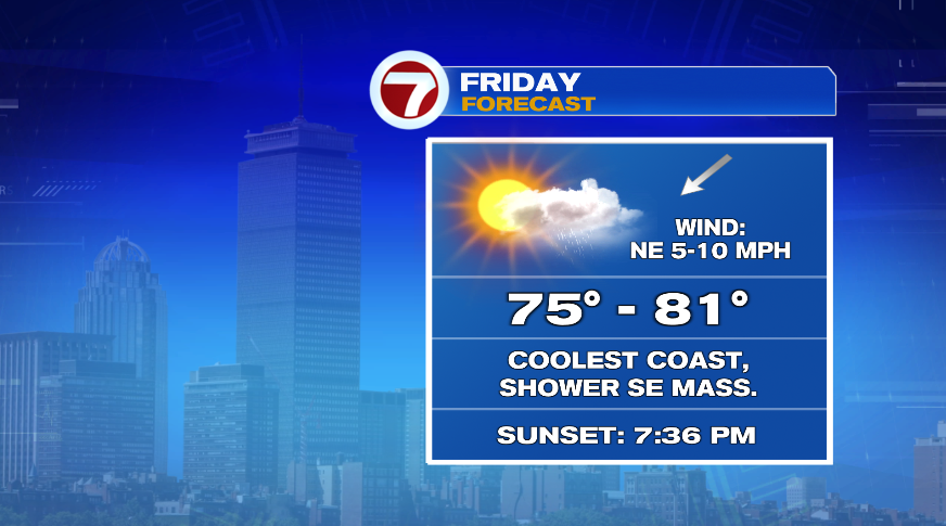
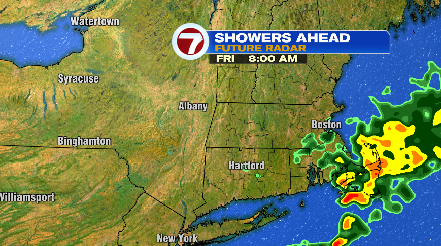
For some of us, Friday brings some decent improvements: a partly cloudy sky and dry conditions. However, we’ll turn our wind to the northeast on Friday which will essentially scrape moisture off of the ocean and provide clouds and on-and-off showers for southeastern Massachusetts and the Cape through most of the day Friday. With the onshore wind the coolest temperatures in the range below will be on the coast, along with those across most of southeastern Massachusetts with the clouds and showers.
The snapshot below shows some heavier rain, which is possible early on in the day Friday, but through most of the day it’s a lighter rain and, at times, drizzle. So it’s just an overall damp feeling.
Then there’s the weekend. Buckle up, it’s not great. Now, before you panic, both Saturday and Sunday will give us SOME dry time but if you have outdoor plans either day, I’d have a rain plan.
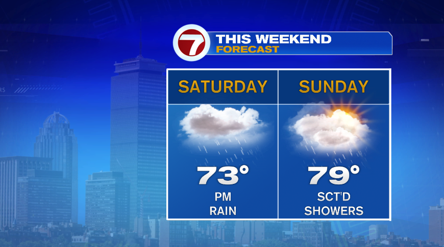
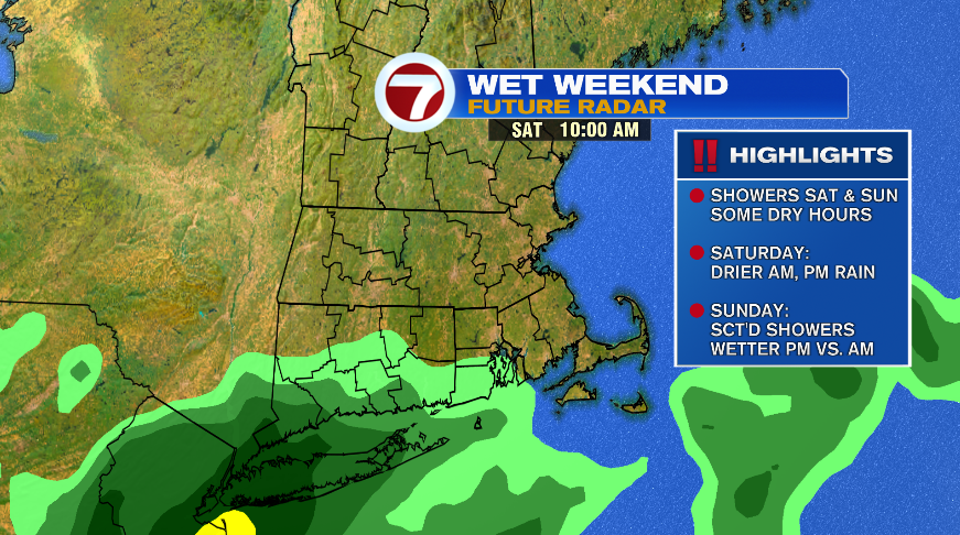
Saturday our storm system approaches from the south so the best chance of dry time will be in the morning. Read it the other way, wet weather arrives for Saturday afternoon and evening. Dry or not, don’t expect much if any sun on Saturday, it looks to be a pretty overcast day. When the rain arrives Saturday afternoon, and especially evening, some of the rain could be heavy.
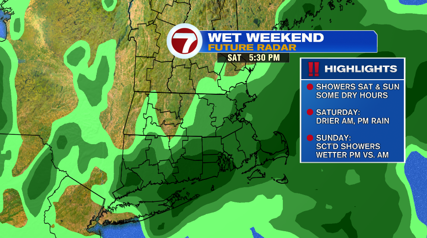
Sunday is the same idea. We’ll have a lot of clouds, though I think the hope of a few peeks of sun is more likely on Sunday than Saturday. Sunday is more of a showery day so they’ll just be on and off during the day, all day, on Sunday. It maybe looks like the afternoon will feature more numerous showers than the morning, but that might be getting a little to picky this far out — like I said earlier, the models really struggle with setups like these.
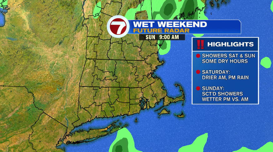
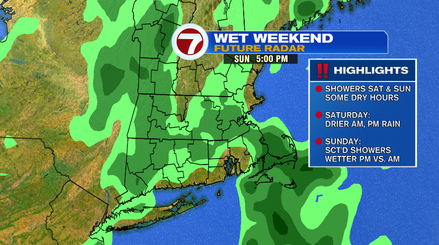
So you’re asking could this change again? Yes, it could. But as we get closer to the weekend and when we’d be impacted by the rain, it gets less likely that there would be dramatic changes. The trend in the last two days has definitely not been our friend. I think the overall takeaway is a few showers Thursday and Friday that are time and location dependent with the weekend forecast looking cool, cloudy, and unsettled.

