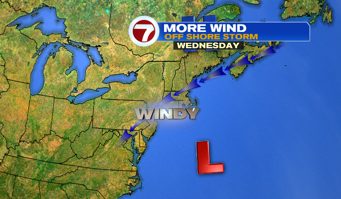
It’s been a cloudy day for some, and a cool day for many as our storm continues to churn off the coast.
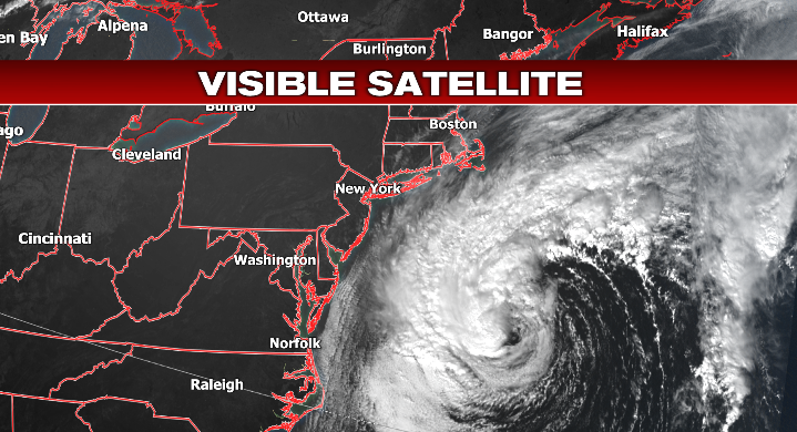
If this storm were a little farther to the northwest, we’d have some big problems. Instead, we have fringe impacts, but impacts nonetheless.
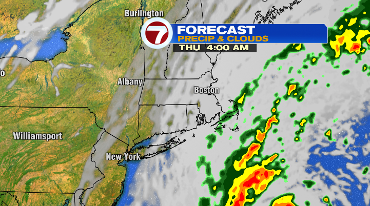
Clouds hang around for the coast overnight, and increase a bit for areas inland by Thursday as this storm gets a move on.
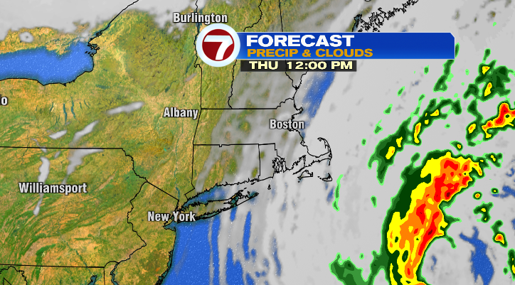
We could also see a few isolated showers, mainly for the Cape & Islands, but a few raindrops for the South Shore and South Coast wouldn’t be a total shock either. That said, anything we see (rainwise) is incredibly limited.
Wind gusts will remain in the 20s, 30s and even 40s for the Cape & Islands, while inland areas will see gusts largely in the teens and 20s through Thursday night.
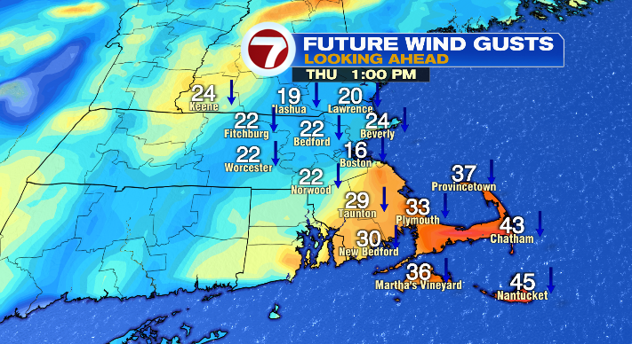
With the long-duration wind and churning waves, we could see some issues with beach erosion through Thursday night as well. As has been the pattern, the closer to the coast you are, the more you’ll feel the impacts of this storm. For those inland, let’s say in Worcester County, or parts of Middlesex County for example, you won’t be dealing with anything beyond a breeze and some clouds.
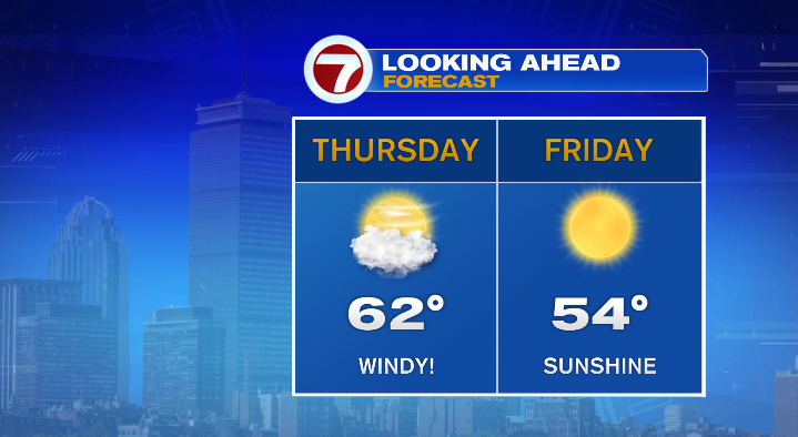
By Friday all of these impacts, the wind, the clouds and the waves, move away as high pressure nudges its way into New England.
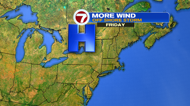
That area of high pressure becomes the dominant force of the forecast, and we have a lengthy stretch of absolutely gorgeous sunshine as a result.
We’ll be cool on Friday, with highs only in the low to mid 50s, so grab the shades and a jacket if you want to spend time outdoors.
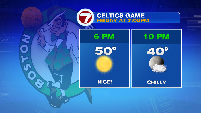
If you’re heading to the C’s home opener on Friday (#goCs) bring a jacket! It’ll be clear but cool as you’re walking to the Garden (reminder: sunset is at 5:50PM), with temps around 50. However, we’ll be around 40 by the time you leave!
The weekend is looking absolutely tremendous– pristine fall weather for New England, if I may say so myself. We’ll be chilly both weekend mornings with temps in the low 30s. However, Saturday afternoon we’ll be sunny and in the upper 50s, while Sunday we’ll be sunny and in the mid 60s!
With high pressure leading the charge (still) we remain sunny and comfy… even a bit warm (for this time of year) to start the week! Expect high temperatures in the mid to upper 60s!