
Happy Tuesday! I know, it’s tough out there. Gray skies, areas of fog, mist, drizzle and some isolated showers. It hasn’t been the best day. I’ve got good news, though! Wednesday looks much better.
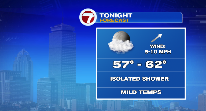
The rest of your Tuesday temperatures will hover in the 50s. Overnight, we’ll actually slightly warm to the upper 50s and low 60s.
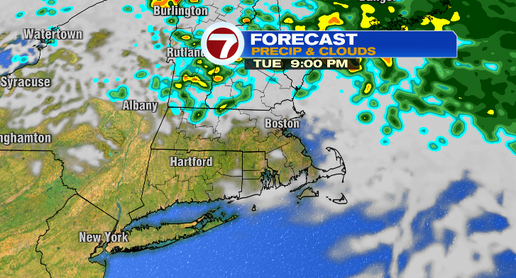
Clouds will partially clear overnight, and we can’t rule out a spot shower.
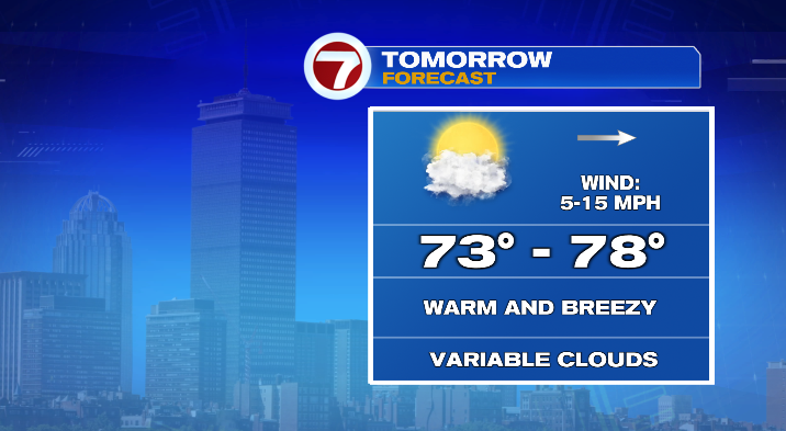
Wednesday will be a 10/10 weather day! We start mild in the 60s with warm highs in the mid to upper 70s. Clouds will be variable, and there’s a very low 10-percent chance for a stray shower in the afternoon. But that’s about it! Generally, an amazing day after the gloom of today.
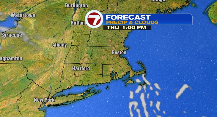
Thursday looks great but it’ll be noticeably cooler. We drop to the 40s in the morning with highs in the upper 50s and low 60s. Skies will be nice and bright and there will be a bit of a breeze at times.
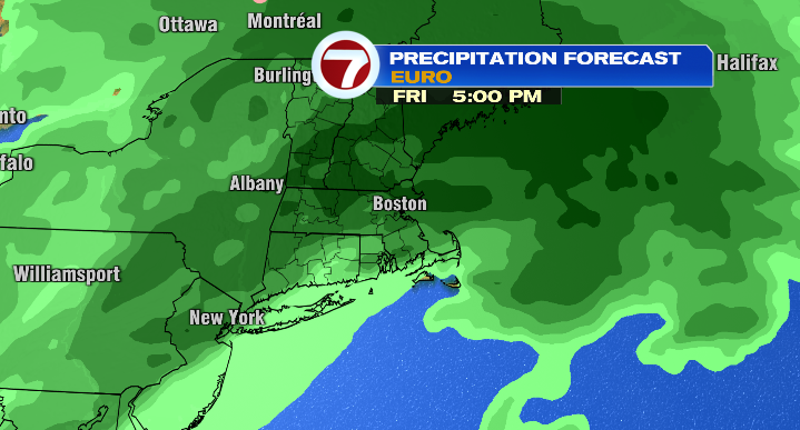
Friday is when we have our next real rain chances. Chances begin mid morning and linger into the evening for some scattered showers. However, it’ll be quite windy so forget the umbrella and stick with a rain coat and rain boots. It’ll be cool, too, in the 40s in the morning with highs in the low 60s.
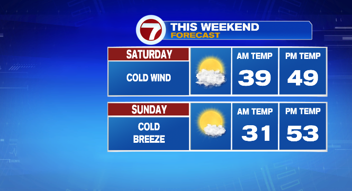
Saturday the wind intensifies. We’re talking 30-40 mph wind gusts. Here’s the thing: temperatures will stay in the 40s most of the day. With that type of wind, we’re talking wind chills in the 30s. Prepare for a cold day! Otherwise it looks dry and partly sunny. Sunday will feature a light breeze but nothing like Saturday’s wind. Skies look mostly sunny and it’ll still be chilly. The morning will actually be cold in the 30s with highs in the low 50s.
Monday morning starts cold again in the 30s with highs back to the low 60s with the help of bright skies. Tuesday: partly sunny, lows in the 40s and highs in the low 60s. Stay tuned!

