
Happy Tuesday! We’ve got a lot to talk about this week!
First, let’s begin with Wednesday. There’s a chance for some spotty rain in the morning but the widespread precipitation doesn’t start until the afternoon. The farther north you are, the sooner you’ll see the snow.
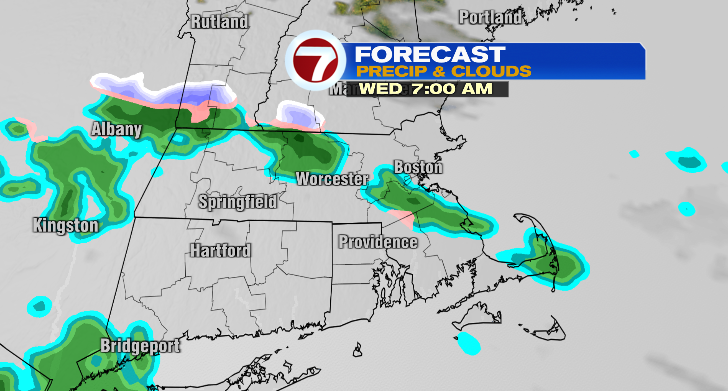
Around 1 p.m. the rain/snow line will hover near northern Massachusetts.
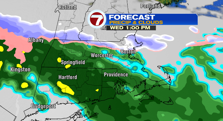
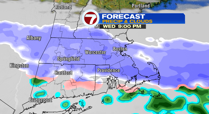
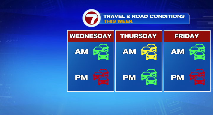
For the start of the commute, around 4 p.m., the rain/snow line will advance south to over the Mass Pike. However, as temperatures drop through 6 p.m., the rain/snow line will quickly drop further south again. That means many of us will encounter snow for the commute, especially if you have a later evening commute. By 9/10 p.m. even southeastern Massachusetts will have made the switch over to snow. It will snow for hours before clearing out overnight.
Southeast Massachusetts will wake up with the least amount of snow Thursday morning, just a coating to 2 inches while many other areas will wake up with between 2 and 4 inches of snow.
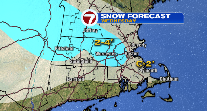
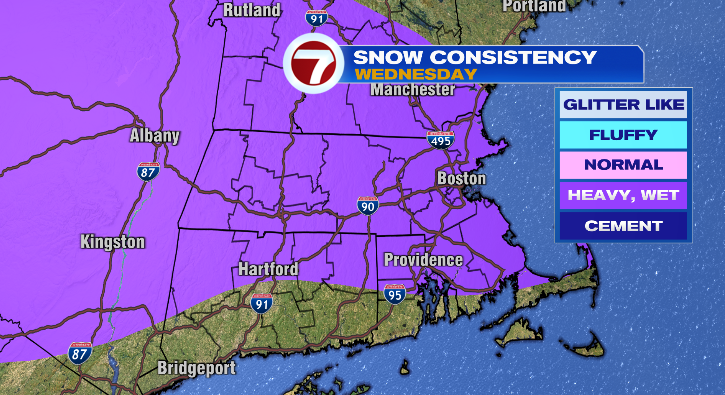
This will be a heavy, wet snow. Otherwise, temperatures will reach the upper 30s in the late morning but will drop to the low 30s for the late afternoon and evening.
The rest of Thursday will be quiet, but be careful for the morning commute as quieter, more rural roads could go unplowed longer than main roads. Thursday will brighten up quickly with lows in the 20s and highs in the upper 30s.
Guess what…we’re not done there! We’ve got more chance for snow, a mix or some rain on Friday depending on where you live. Lows will start in the teens with warmer highs in the upper 30s. The chance for wintry weather is highest in the second half of the day.
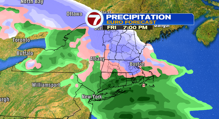
That system will linger into Saturday with snow. Another system could advance into our area Sunday into Monday and has the potential to be more impactful. Stay tuned!
